Featured
Added on Aug 11, 2026
Ridgeline — Topographic 3D Mountain Terrain Surveys
About
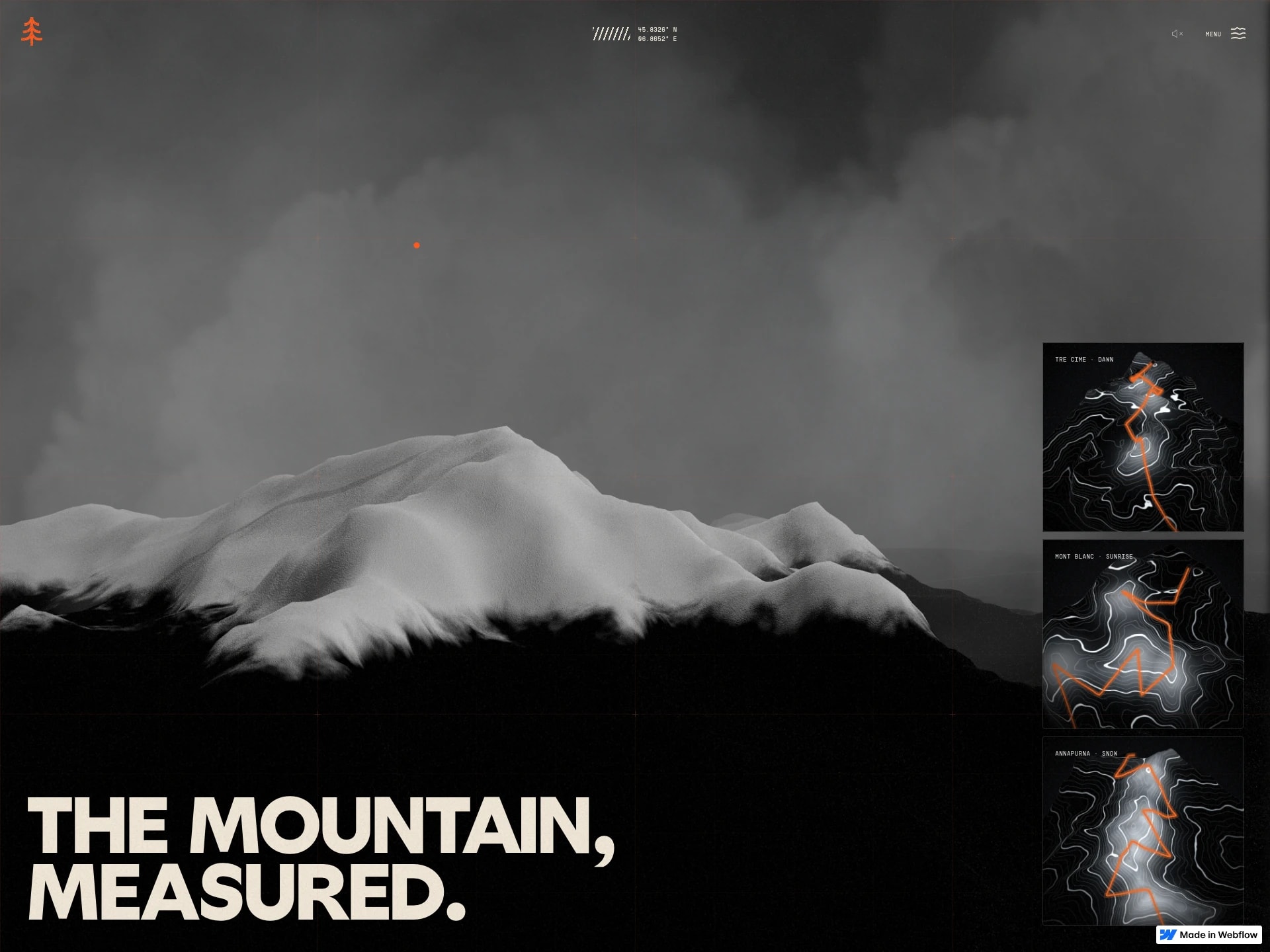
Ridgeline by Filip Zrnzevic rebuilds real mountain ranges, including Tre Cime, Mont Blanc and Annapurna, from SRTM elevation data as topographic 3D terrain. The opening scene shows grey snow-covered peaks with small contour maps stacked along the side, and an orange survey line traces a route across the relief as the camera flies over it. Further down, bold condensed lines such as "One frame is never the whole range" sit over mountain photography and a column of floating rock fragments. It's a scroll-driven Webflow site built with Three.js, GSAP and Lenis.
What it is
How it works



Submitted by
mesh3d
Similar Three.js experiences
Expedia Route 66
made by Unseen Studio®
LMI presents Elimar
made by OddCommon